.png)
Imagery Analysis • GIS Automation • GeoAI
We automate the GIS work slowing your team down. Already have the data? Send it to us. We handle the processing, analysis, automation, and QA.
Have a repetitive geospatial workflow?
Let’s turn it into a system.


We're licensed and insured on total
50 States
We're licensed and insured on total
50 States

Engineering CAD converted into deployment-ready GIS


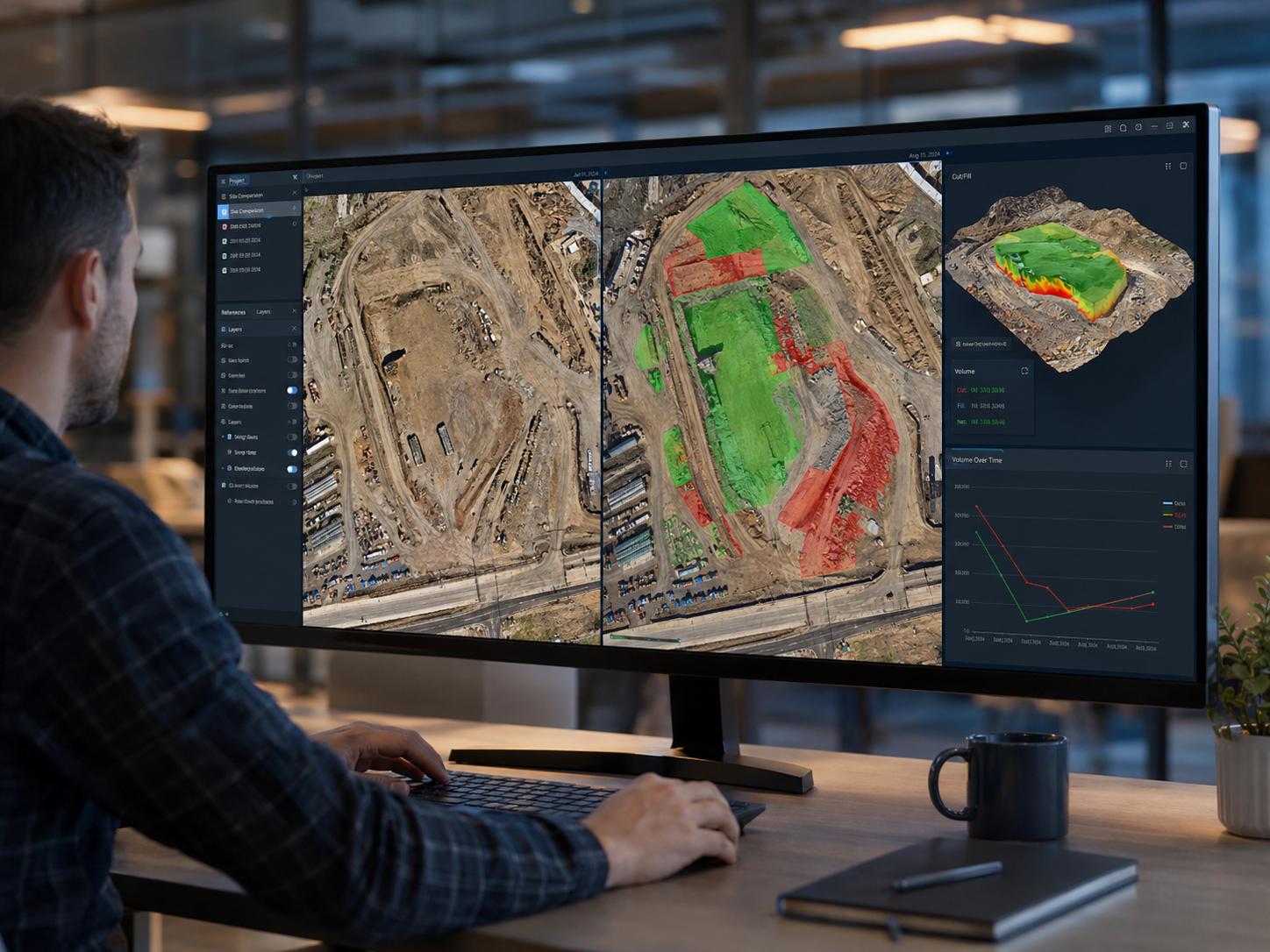
Compare site conditions over time and identify what changed

We're gained membership in ASPA Of Consruction.

We're gained membership in ASPA Of Consruction.
We're gained membership in ASPA Of Consruction.
We're gained membership in ASPA Of Consruction.
Built for contractors, developers, drone pilots, engineers, and land teams.


.png)
See What We
Automate
GIS Guys transforms CAD, drone imagery, LiDAR, and geospatial data into verified maps, measurements, tools, and decision-ready deliverables. From raw files to usable decisions.

CAD-to-GIS Automation
Convert DWG files into projected, classified, cleaned, and quality-checked GIS deliverables.
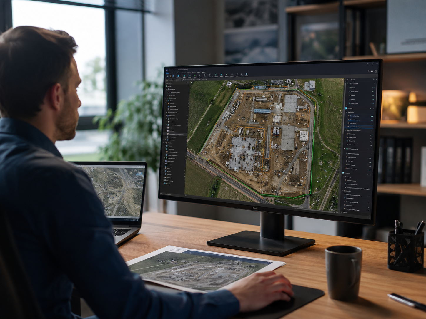

Drone and LiDAR Intelligence
Volumetrics, elevation analysis, construction progress, surface comparison, and automated change detection.


Custom GIS
Automation
ArcGIS tools, Python workflows, dashboards, and automated systems built around the client’s existing process.

2023
Founded

3
Core Service Lines

48–72 hr
Quote Turnaround


One Simple
Process


1 of 4
Start With What You Have
Send your files, requirements, or current workflow. We’ll determine the best path forward.
Helpful details to provide:
- Project location and coordinate system
- Desired output
- Known issues with the data
- Sample files or screenshots
- Required completion date
Input Review
We check coverage, coordinate systems, file quality, and project requirements before work begins.

2 of 4
Raw Data Into Results
We convert, analyze, and automate complex geospatial work using GIS, Python, and GeoAI.
Our Top Picked Services:
- CAD-to-GIS conversion
- Drone and LiDAR analysis
- Feature extraction
- Change detection
- Custom automation tools
Built Around Your Workflow
Every process is configured around your data, standards, and required deliverables.

3 of 4
Accuracy Before Delivery
Every result is reviewed for accuracy, completeness, and compatibility.

We Check Everything:
- Coordinate systems
- Geometry and topology
- Elevations and units
- Feature classifications
- Measurements and outputs
Quality Control
Errors and uncertain results are corrected or clearly flagged before approval.

4 of 4
Ready for Immediate Use
Receive organized deliverables that fit directly into your existing workflow.

Our Common Deliverables:
- GIS datasets
- Maps and reports
- Elevation surfaces
- Dashboards and applications
- Reusable GIS automation tools
Production-Ready Delivery
Final outputs are documented, clearly organized, and delivered in the formats your team needs.
Our Guarantee
We Understand That Every Project Is Unique
We work closely with our clients to deeply understand their specific needs and goals. This personalized approach ensures that our solutions are not only effective but also perfectly tailored to meet the unique demands of each project.

Commitment to Excellence

Flexible Financial Options

Support Beyond Completion


Unlock Member Exclusive GIS Advantages

Priority service
Reduced rates on our consulting packages
The ability to budget more predictably for complex projects that require detailed spatial analyses and extensive data management.
Ideal for clients who need continuous GIS support and wish to establish a long-term partnership with the GIS Guys, maximizing the value and impact of their geospatial projects.

"Their volumetric reporting made it easier to track material quantities and communicate progress."

David X.
Forestry Manager, USA
"The GIS Guys are not just consultants; they are educators. Their accurate GIS solutions and commitment to client education have really transformed our project efficiency."

Joon G.
Texas A&M Student, USA
“GIS Guys helped convert our site data into clear maps and reports our team could actually use.”

Savannah H.
Water Resource Specialist, USA
"In the consultation, they hit us with some game-changing strategies that we've rolled out for some massive wins. Their insights have definitely set us up for success—it’s like they handed us the cheat codes!

Michael B.
Geospatial Analyst, USA
"They didn't just offer tools; they provided a roadmap during our free consultation that showed how far we could go with GIS in our industry."

Liam D.
Civil Engineer, USA


Ready to Turn Site Data Into Answers?
Send your project details and we’ll recommend the best path forward.


